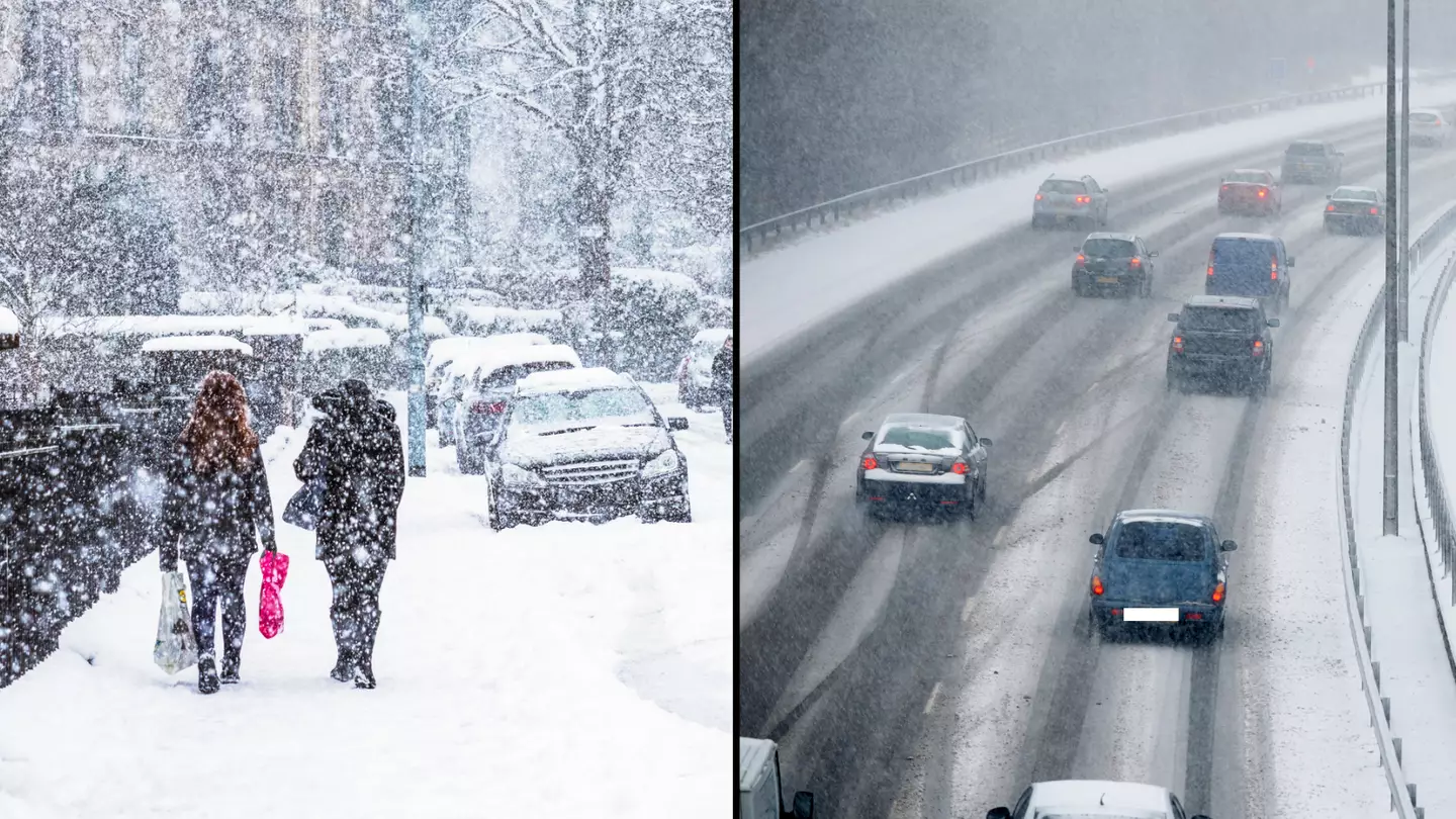
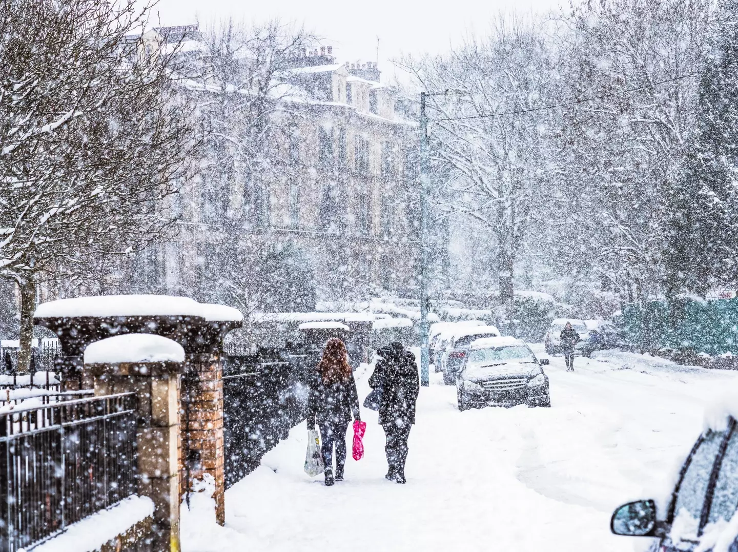
Instead of the white Christmas we all wished for, we've ended up with a very inconvenient white January as a polar vortex 'snow bomb' batters the UK this morning.
On this lovely Tuesday morning (16 January), it seems we've been hit with a 'cold plunge of Arctic air' across the whole country, making it 5°C-6°C lower than usual, the Met Office has claimed.
As a result, the national weather service has since issued yellow warnings for snow and ice - which could last until Thursday (18 January).
Advert
The most affected areas are across Scotland, Northern Ireland, along with parts of northern England and Wales.
Met Office forecaster Craig Snell said by Tuesday there could be a 'persistent band of snow' over three to six hours across Scotland, Northern Ireland and parts of northern England and Wales.
"In the early hours of the morning we’re looking at temperatures getting down to -12C in a few spots, Tuesday night possibly down to -15C," he said.
"So certainly a very cold spell into Wednesday."
Advert
And Met Office chief meteorologist, Andy Page, has since warned: “There will be widespread frost this week and we could see some fairly deep laying snow in parts of northern UK and strong winds could result in drifting or blizzard conditions at times.
“The snow and ice will be disruptive and could potentially impact travel plans, make driving dangerous and pavements slippery.”
The extreme cold weather is being caused by a change in wind patterns in the atmosphere - which forms a 'snow bomb' across the country due to a polar vortex.
A polar vortex is a circulation of winds, around 30 miles above the earth.
Advert
These winds can often exceed 155 miles per hour, meaning they're as strong as the strongest hurricanes (Category 5).
However, in winter, the strength of these winds can weaken causing an influence on the weather that we experience.
Meteorologists believe that the intense cold spell could see snow cover parts of the country for the first half of January.
Advert
Professor Liz Bentley, chief executive of the Royal Meteorological Society, said to Sky News: "When you get an SSW it increases the likelihood of a prolonged cold spell across Northern Europe, like the Beast from the East."
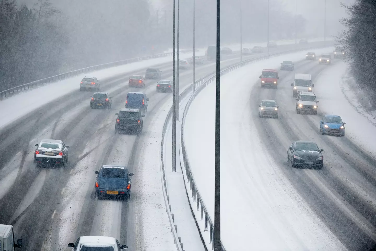
National Highways has now put in place a severe weather alert for snow, as Amy Fellows, national network manager at National Highways, said: “Freezing conditions bring so many hazards such as snow and ice, so take every possible step to understand your journey in advance and allow lots of extra time when travelling to prepare for the unexpected.”
Expect travel disruption as around 200 schools across Aberdeenshire, Moray and Shetland were closed due to snow on Monday.
National Rail has also warned that wintry weather can affect train journeys all week.
Featured Image Credit: Getty Stock Images